
Search Springfield Township Streets by Address
A street-by-street search works best when each source is given the job it can actually do. Start in the county property system with the situs address, meaning the physical tax-property address. Keep the resulting parcel identifier and legal description. Those two details make it possible to move beyond a street label, which may be abbreviated or absent from an older instrument. The address route can show a property lead; it does not turn the property file into a list of everyone at that location.
The next steps separate land evidence from resident evidence. A recorded deed can show parties to a transaction and a map can show parcel geometry. A controlled election street list is a statutory election record, not an ordinary online browsing feature. Historic directories and census sources can add a dated household clue only after the parcel or road wording has been checked. This order keeps the address search tied to a real parcel rather than a loose name match.
- Open the Delaware County Real Estate and Tax Records route, accept its notice, and search the property by number and base street name.
- Record the situs address, PIN or PARID, and the legal description. Use the county map to make sure the parcel is the one intended.
- Use the parcel details in Recorder Cloud Search to locate the current transfer and then earlier instruments.
- For an older household question, compare the verified road or parcel with a dated directory, map, census, or telephone-book source.
- Use election materials only through the lawful county or state request channel, and keep their statutory purpose limits intact.
Note: A current owner field, deed party, or parcel boundary can be useful evidence, but none alone proves present occupancy at a Springfield Township address.
Springfield Township Street Directory Fields
The county address mode is the clearest official tool for browsing address records along Springfield Township streets. It accepts a house number and a street field. Enter the base street name, such as “Main” rather than “Main St.” A number plus street narrows the result; a street-only request can return names beginning with that entry. The system also allows an asterisk wildcard, so a partial form such as Fro* can help where the road wording is incomplete.
| Address-search field | Input | Required | Springfield Township use |
|---|---|---|---|
| Number | Text | No | Pair it with Street to focus on one address. |
| Street | Text | No | Use the base name, omit the suffix, and use * for a partial route. |
| Search | Button | Not applicable | Runs a number-and-street, street-only, or wildcard request. |
| Sort | Selector | No | Offers Parcel ID, TaxMap ID, owner-name column, address, sale, land-use, and map order. |
| Direction and page size | Controls | No | Allows ascending or descending order and 15, 20, 25, 30, or 50 results. |
The address page requires a session and disclaimer acceptance. Its owner-name option is a result-sort column, not an owner-name search. That distinction is central: use the property system to get from a street to a parcel, then use a Recorder party field when a recorded-document search requires a name. Do not infer mailing details, exemptions, or card fields that were not visible in the inspected property result.
Springfield Township Street Record Coverage
Address-keyed sources answer different parts of a Springfield Township street search. The county property route supplies the parcel starting point. GIS adds geometry and published parcel fields. The Recorder adds recorded parties and documents. Township files can add property-work evidence when a defined request is responsive. Historical sources add dated household clues. Election street lists are controlled materials, not a public browse result. Reading the access boundary beside each source prevents the most common mistake, treating ownership data as a resident roster.
| Address record | Custodian | What it can add | Access boundary |
|---|---|---|---|
| Address or PIN property roll | Board of Assessment | Situs address, property identifier, and tax-property route. | Address, parcel, advanced, or map search; owner-name search is removed. |
| Parcel GIS | County Mapping and Assessment data | Polygon, address components, PIN or PARID, legal fields, sale and value fields. | Public query layer with a 2,000-record maximum; not household data. |
| Recorded documents | Recorder of Deeds | Grantor, grantee, document placement, dates, and legal description. | Cloud Search and counter route; a document party is not occupancy proof. |
| Permit or code material | Springfield Township Building or Code | Potential application, inspection, or work-history evidence. | OpenGov intake or a focused request; no public historic result index was verified. |
| Historic directory or census | Local history sources and DCHS | Dated name and address or household context. | Snapshots and collection gaps; no verified local criss-cross run. |
| Election street list | County election custodian | Statutory address-arranged election material. | Controlled by Election Code purpose and handling limits. |
The chain is practical: address to parcel, parcel to recorded instrument, then a carefully dated historical source where the question is about an earlier household. It should not be reversed by treating a list or map field as proof of who lives there now.
Springfield Township Street Search Limits
Delaware County deliberately removed name searching and property photos from its real-estate application for privacy and security. That design creates a two-tool route for an address-record search. An address, parcel, advanced, or map search belongs in the tax system. Party, grantor, grantee, document number, date, document type, book, page, municipality, and OCR searching belong in Cloud Search. Neither tool should be used as a shortcut to claim who is presently in a household.
The property application’s Parcel ID route needs 11 digits without hyphens and allows all or part of the identifier with a wildcard. Recorder Cloud Search gives a different prompt: xx-xx-xxxxx-xx, with dashes. Keep a note of which format a source expects. A situs address can differ from a mailing address, and a party on an instrument may have signed long before or after a move. These limits are useful safeguards, not dead ends.
Address-first quirk. Delaware County’s property route is built for an address or parcel, while Recorder Cloud Search is built for parties and documents. Cross-check the two records with the PIN and legal description.
Map Springfield Township Street Parcels
The Delaware County Mapping portal is the official entry point for the parcel map. Its underlying ArcGIS layer can query and page parcel data, calculate distance, and support map selection. On the map, use a known address to find the area, then inspect one bounded street segment or individual polygon. Copy the parcel identifier before opening tax or Recorder records. The map is strongest when it helps keep one parcel distinct from the next.
The County Mapping portal shows the official parcel-mapping route used for a Springfield Township street directory search.
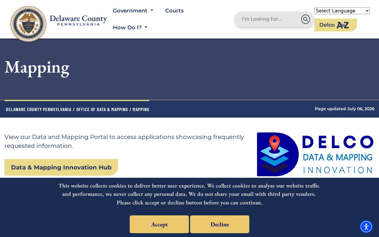
Mapping helps establish a street segment and parcel boundaries before records are compared one by one.
Its selection tools include point, box, polygon, line, and buffer methods. The Buffer Select control starts at 100 units and can use feet or meters around a parcel center point or polygon. The interface can list up to 500 selected parcels and map up to 1,000. Those limits support a focused search, not an effort to turn the map into a broad people list. Parcel edges also do not prove that buildings, owners, or households are shared.
Springfield Township Street Parcel Terms
Old deeds and maps may use a lot, subdivision, or older road wording instead of the modern street format. The following terms keep a street directory search consistent as it passes through the tax system, GIS, and Recorder files. Use the legal description and identifier as the continuity check when address wording changes.
- Parcel
- A mapped property unit in the county assessment system. A parcel is not the same thing as a household.
- Situs address
- The physical property address used to start an assessment or GIS search. It can differ from an administrative mailing address.
- PIN or PARID
- A county property identifier that connects the tax, map, and Recorder research trail. The tax search uses 11 digits without hyphens.
- Legal description
- The lot, subdivision, book-and-page, or boundary language that follows the land even when a street label is old or missing.
- Criss-cross directory
- A reverse address-to-name directory. No verified Springfield Township run was found, so ask the Library or DCHS about a specific volume rather than assuming one exists.
Note: The county parcel layer contains property and mapping fields, but its published schema is not a roster of occupants or other household members.
Cloud Search for Springfield Township Streets
Recorder Cloud Search is the part of the Springfield Township street directory trail that connects a parcel to recorded land papers. Start with the address result’s PIN, parcel identifier, and legal description. The quick search can accept a dashed Parcel ID as a search term, while advanced search provides party, grantor, grantee, recorded-date, instrument-date, document-number, document-type, volume, book, page, full-text OCR, and municipality options. The result should be read with the instrument, not treated as a final title opinion.
Search Index Only treats multiple words individually. Search Index & Full Text uses a phrase, which can help with an unusual legal-description phrase. When an address points to a current transfer, note the current grantee, recording date, document number, and legal description. Search the seller as a prior grantee, then repeat the comparison. This is a land-history trail, not an occupancy list.
The official County parcel feature-service schema documents the parcel fields that can anchor a Recorder search.
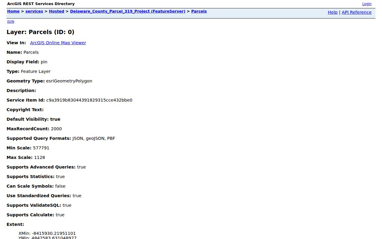
These parcel fields help compare an address record with the right recorded-document trail instead of relying on a street name alone.
Recorded Context Along Springfield Township Streets
Deeds are only one part of the Recorder collection. The office also covers mortgages and releases, plans, easements and restrictions, powers of attorney, assignments, and parcel-linked UCC filings. A plan or restriction can explain a subdivision or road layout. A mortgage release can supply a date in the property file. None of those documents, by itself, proves a current owner or resident.
The Recorder says county real-property records date to 1789 and online copies reach 1799 to the present. For a document before the online-copy range, use the Recorder counter in Media rather than assuming the County Archives has Recorder custody. The Archives holds many administrative and estate series, but it expressly does not keep Recorder records. The 1789 boundary also matters because earlier property research can fall in Chester County records.
Cloud Search soft-launched in February 2024 and was publicly announced the following month. The newer service adds OCR searching and electronic-certified copies alongside the legacy system. That makes a legal phrase or document type easier to pursue, but it does not change the need to verify the actual instrument and parcel continuity.
Springfield Township Street Permit Evidence
A Township permit can add a date for physical work at a street address. Springfield’s Building and Code departments direct permit, licensing, inspection, and code work through OpenGov. The Township says online permits are the accepted permit route. Listed work categories include changes such as roofs, additions, pools, fences, driveways, HVAC, and solar work. A Code page also requires visible house numbers at least four inches high.
No verified public historic completed-permit, code-case, or business-license result index was located. For a particular property, use the posted online application channel or a focused Township records request with an address and date range. A permit or inspection can support a work-history question. It does not establish ownership, completion, or who lived at the address.
Springfield Township Election Street Lists
Pennsylvania election material is not a general Springfield Township street directory. Under 25 Pa.C.S. § 1403, counties prepare district street lists before each election using a street-and-house-number or other address-identifiable arrangement. Section 1404 governs public information and controlled list access. The state’s individual registration-status route is for resolving a person’s own status, not for discovering a street’s residents.
A voter-list request requires identification and a signed statement limiting use to election, political, or law-enforcement purposes. The state form describes street and walking lists, but it also bars unrelated use and online placement. County and state election staff are the right custodians for an authorized request. An address search should never be used to republish a statutory election list as a public residential directory.
Historic Springfield Township Street Clues
For a past address, pair the verified parcel trail with the digitized Springfield Directory 1870 and Springfield Directory 1872. Each uses Name, Occupation, and Address columns. Transcribe spelling and initials as printed, compare the same surname across the two dates, then test the road wording against a historic map, tax list, deed, census, or estate record. They are two dated snapshots, not a continuous township directory.
The Delaware County Historical Society adds township atlases from 1870 through 1940, county census microfilm, telephone books for 1957, 1958, 1965, and 1970 to the present, plus regional directories. Springfield Township Library’s Quiet Room has local-history and genealogy material in locked, noncirculating bookcases with staff assistance. Neither public inventory verifies a Springfield reverse or criss-cross run. For the collection details, use the Springfield Township Directory Book rather than treating a reverse directory as confirmed.
Note: No verified township-wide renumbering project or date was found, so historic road wording and the legal description need to be checked together.
Limits of Springfield Township Street Searches
A street directory can show address-keyed public property and historical records, but it cannot produce a verified list of every household member, utility customer, delivery recipient, protected Address Confidentiality Program participant, or driver-record holder. A parcel polygon is not a household roster. An owner field and a Recorder party may describe a land relationship, not present residence. The Township’s community groups are contact resources, not membership or address directories.
Use official records for personal, lawful research such as family history, estate questions, property curiosity, or checking a seller’s claimed land record. If a record is missing or protected, ask the custodian about the proper request rather than trying to fill the gap with an unverified source.
Lawful use. Springfield Township address records must not be used to stalk, harass, intimidate, or harm anyone. Respect protected addresses and each custodian’s access rules.