
Springfield Township ZIP Coverage
Springfield Township’s confirmed primary postal code is 19064. Official Township, library, and County polling-place addresses use that postal locality. The evidence supports describing 19064 as the primary Township ZIP, but it does not establish that every border street uses it or that every address carrying it lies inside Township limits. The ZIP code directory therefore records what is verified and leaves unverified postal claims out.
| Postal code | Documented Township use | Postal-office finding | Research limit |
|---|---|---|---|
| 19064 | Official municipal, library, and polling-place addresses | No separate station or post-office detail was verified | Confirmed primary ZIP; check a complete address with USPS. |
| No additional ZIP verified | No authoritative second, special, unique, or PO-box ZIP was located | Not established by the inspected sources | Do not claim coverage for a surrounding ZIP without an exact-address USPS check. |
Delaware County publishes links to a ZIP map and a Springfield Township municipal map. Those maps help visualize two different systems. They do not override the postal service when the question is delivery for one exact address.
Springfield Township ZIP Area
19064 appears at the Township’s regular municipal address, its temporary in-person counter, Springfield Township Library, and County polling-place material. Those repeated official uses are enough to confirm the primary postal area. They are not proof that a named person, business, or property belongs to a delivery route, and they do not describe every edge of the Township.
Springfield is one of Delaware County’s 49 municipalities and has seven wards and precincts. A Springfield mailing name and 19064 can appear beside County property, court, or election records kept in Media. That split is a useful geography fact: postal delivery, municipal government, and record custody do not share one boundary.
Note: A postal code is a delivery-routing tool, while a Township boundary identifies a municipal jurisdiction for local government and many public records.
Verify a Springfield Township ZIP Address
The authoritative route for a particular address is the USPS postal lookup. Use the Address pathway rather than choosing a ZIP from the municipal name alone, especially near a boundary. USPS makes clear that its result does not verify that any person or company occupies the address. It answers the delivery-format question only.
| Company | Optional field on the USPS Address pathway. |
|---|---|
| Street Address | Required field. Enter the complete street address. |
| Apt/Suite | Optional field for the unit information supplied with the address. |
| City/State or ZIP | Postal locality and state, or ZIP, used with the address before selecting Find. |
The USPS address lookup shows the verification route used for a complete Springfield Township address.
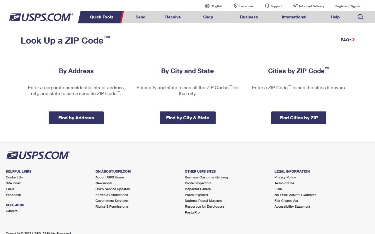
The returned format should be kept with the address research notes, not treated as proof of a resident or property owner.
The USPS city and state postal route is useful for moving between the Postal Service’s supported lookup directions.
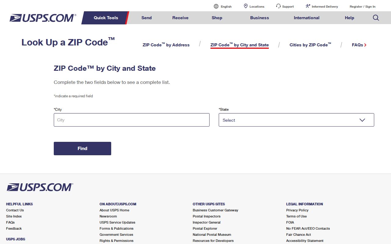
For a border address, return to the complete-address pathway before relying on a ZIP code result.
Springfield Township ZIP Research
No inspected local portal offers an authoritative area-wide person or parcel query for Springfield Township. The ZIP code directory cannot honestly promise a search of all people in 19064. A postal result can narrow an address question, then the actual record trail moves through address, parcel, legal-description, or party fields held by different custodians.
- Enter the complete address in the USPS lookup and keep the returned postal format.
- Use the County real-estate and tax system by address, parcel, advanced, or map mode, not by a ZIP-wide people search.
- Record the situs address and Parcel ID, then check the County GIS map for the particular parcel and municipal context.
- Use the Parcel ID, legal description, dates, or party fields in Recorder Cloud Search for a recorded-document trail.
- Use each document for the fact it supports and keep owner, document-party, and present-occupant questions separate.
Once a ZIP has narrowed an address, the Springfield Township street directory gives the fuller address and parcel workflow.
Springfield Township ZIP Portal Limits
County and Township systems organize their records around different keys. The assessment parcel layer is tied to parcel, address, municipality, and property fields. Recorder Cloud Search uses search terms, dates, documents, parties, Parcel ID, and OCR. Township OpenGov did not expose a public ZIP-capable search or historic permit/case search during inspection. A ZIP label alone does not replace the key each system requires.
| Record system | Useful key | What it can support | ZIP limitation |
|---|---|---|---|
| County property and tax records | Address, Parcel ID, advanced, or map search | Situs address and parcel research | Inspected parcel layer does not include a ZIP field. |
| County GIS parcel map | PIN/PARID, address pieces, municipality, polygon | Parcel location and related property fields | No authoritative ZIP-wide household or parcel query. |
| Recorder Cloud Search | Party, dates, documents, book/page, Parcel ID, OCR | Recorded instrument trail | ZIP is not an inspected search filter. |
| Township OpenGov | Public record obtained through portal or request | Permit, licensing, code, or inspection context | No ZIP-capable public historical search was verified. |
These limits are useful safeguards. A parcel map or deed may identify a land record, but neither is a current household roster.
Springfield Township ZIP Parcel Formats
ZIP, street address, Parcel ID, and Recorder PIN are not interchangeable. The County property system begins with a situs address or its parcel identifier. A situs address is the physical location used in property research. A legal description is the lot, subdivision, book/page, or metes-and-bounds wording that can preserve land continuity when a street address has changed or is absent from an older record.
| Tax Parcel ID | The County parcel search expects 11 digits without hyphens and can accept all or part of the identifier. |
|---|---|
| Recorder PIN hint | Cloud Search instructs users to enter the Parcel ID in dashed form: xx-xx-xxxxx-xx. |
| Situs address | The physical property address used to start assessment and GIS research. It is not a ZIP boundary. |
| Mailing address | An administrative delivery address that can differ from situs and does not establish physical residence. |
Matching the number format to the portal prevents a false no-result. Match the legal description as well when an older deed uses a lot or subdivision rather than today’s street wording.
Springfield Township ZIP Boundaries
Postal delivery areas and municipal limits are different systems. The verified evidence does not map every line of 19064 or confirm a second ZIP for any Township segment. For that reason, a result with the Springfield postal name should be checked against the specific address, County parcel data, and municipal map when jurisdiction matters. Do not infer a boundary just because two records share a ZIP.
- ZIP and ZIP+4
- A ZIP directs mail to an area; ZIP+4 adds a more specific delivery segment. Neither establishes a municipal boundary.
- PO-box ZIP
- A ZIP used for post-office boxes. No Springfield Township PO-box-only ZIP was verified in the research.
- Unique ZIP
- A ZIP assigned to one organization or institution. No such Springfield Township ZIP was verified here.
- Carrier route
- A postal delivery sequence used for mail handling. It is not a Township district or a record-search boundary.
Historic Springfield Township ZIP Checks
Historic address research needs more than a postal code. The locally verified anchors are the 1870 and 1872 Springfield directories, DCHS telephone books, census microfilm, township atlases, and County maps. The historic road wording and legal description should be compared before attaching a modern postal label to an old record. No Township-wide street-renumbering date was verified, so a generic renumbering story would be unsafe.
For research before Delaware County was created in 1789, land, tax, and court material may belong in Chester County. County historic-map guidance warns about boundary changes. That jurisdictional shift is a stronger explanation for an early record gap than a ZIP code, which is a later postal tool.
Springfield Township ZIP Election Geography
Election geography is also distinct from postal geography. Delaware County Voter Registration maintains individual registration and status information, while the state status route is for individual resolution rather than discovering people by ZIP. Controlled public information and street lists have Election Code restrictions. They are not ordinary ZIP-based resident directories and should not be republished as one.
The Delaware County voter-registration page provides the County’s registration routes and contact context.
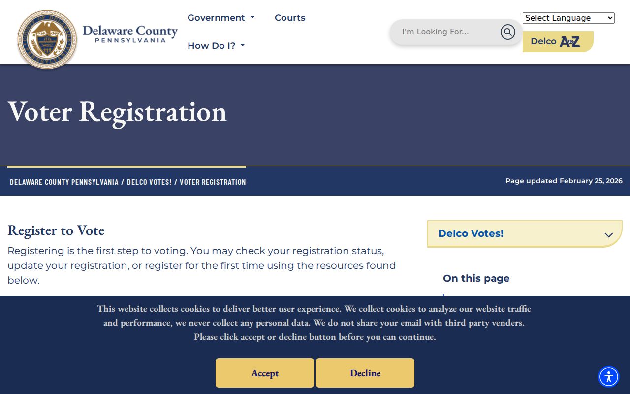
The County page supports an individual registration process, not a postal-code list of residents.
The Delaware County voter-registration information is the source captured for the additional County view.
A ward or precinct can help an election office administer a specific address, but it does not change that address’s USPS verification requirements.
Use Springfield Township ZIP Results Carefully
A Springfield Township ZIP code directory works best as an address-format reference. It can confirm a complete address with USPS, point to the correct parcel workflow, and prevent mistakes between a tax Parcel ID and a Recorder PIN. It cannot establish who lives at an address, identify a full postal-area population, or override protected information and custodian rules.
When a postal, parcel, and municipal result seem inconsistent, retain the exact inputs and ask the responsible custodian to explain its own record. That is more reliable than trying to reconcile the difference through a delivery code alone.